Malaria surveillance
Toggle navigation
1
This app is intended to help you
to visualize malaria cases and meteorological data at parish level in the Peruvian Amazon.
The parish-level data for meteorological variables shown in maps and plots are obtained from Land Data Assimilation Systems (LDAS), which produces high quality fields of land surface states (e.g., soil moisture, temperature) and fluxes (e.g. , runoff) by integrating satellite and ground-based observational data products, using advanced land surface modeling and data assimilation techniques.
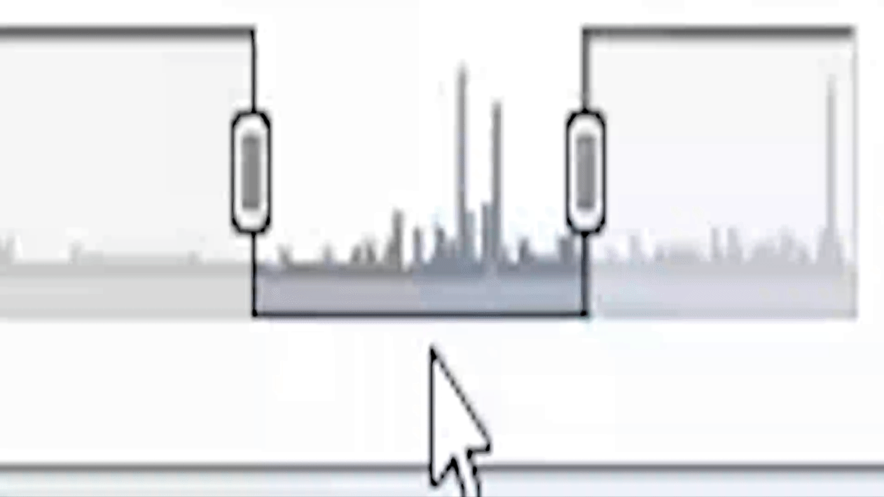
You are able to select type of malaria, meteorological variable, parish and year of interest. Furthermore, a range selector at the bottom of the time series charts facilitates panning and zooming to various date ranges.
You can check this information again in the icon at the top right.
If you have questions or suggestions, please contact us at:
hcardenas@usfq.edu.ec
Spatial malaria and climatic data over time
Select country :
Peru
Year:
Malaria :
falciparum
vivax
Climatic variable:
Rainfall
Air Temperature
Surface Wind
Specific Humidity
Surface Pressure
Soil Temperature
Soil Moisture
Surface Runoff
Solar Radiation
Explore malaria forecasting at a spatiotemporal level
Time series
Evaluation metrics - Vivax
Predicted time series
Select your variable of interest:
Vivax N°cases
Vivax Incidence ratio
Falciparum N° cases
Falciparum Incidence ratio
Total number of cases
Week:
Click on a district on the map to visualize malaria forecasting and climate time series
Select parish:
IQUITOS
ALTO NANAY
FERNANDO LORES
INDIANA
LAS AMAZONAS
MAZAN
NAPO
PUNCHANA
TORRES CAUSANA
BELEN
SAN JUAN BAUTISTA
YURIMAGUAS
BALSAPUERTO
JEBEROS
LAGUNAS
SANTA CRUZ
TENIENTE CESAR LOPEZ ROJAS
NAUTA
PARINARI
TIGRE
TROMPETEROS
URARINAS
RAMON CASTILLA
PEBAS
YAVARI
SAN PABLO
REQUENA
ALTO TAPICHE
CAPELO
EMILIO SAN MARTIN
MAQUIA
PUINAHUA
SAQUENA
SOPLIN
TAPICHE
JENARO HERRERA
YAQUERANA
CONTAMANA
INAHUAYA
PADRE MARQUEZ
PAMPA HERMOSA
SARAYACU
VARGAS GUERRA
BARRANCA
CAHUAPANAS
MANSERICHE
MORONA
PASTAZA
ANDOAS
PUTUMAYO
ROSA PANDURO
TENIENTE MANUEL CLAVERO
YAGUAS
×
Time series
Select climatic variable:
Rainfall
Air Temperature
Surface Wind
Specific Humidity
Surface Pressure
Soil Temperature
Soil Moisture
Surface Runoff
Solar Radiation
Click and drag to zoom in (double click to zoom back out).
A range selector at the bottom of the time series charts facilitates
panning and zooming
to various date ranges.